

DRONE MAPPING & CONSTRUCTION PROGRESS SERVICES IN LONG ISLAND, NYC & NEW JERSEY
High-accuracy drone mapping, construction progress documentation, photogrammetry and 3D modeling for contractors, developers, engineers and commercial property teams across Long Island, New York City, New York and New Jersey.
Save time - Cut costs - Get results -
Save time - Cut costs - Get results -
MANAGING CONSTRUCTION PROJECTS IS ALREADY CHALLENGING
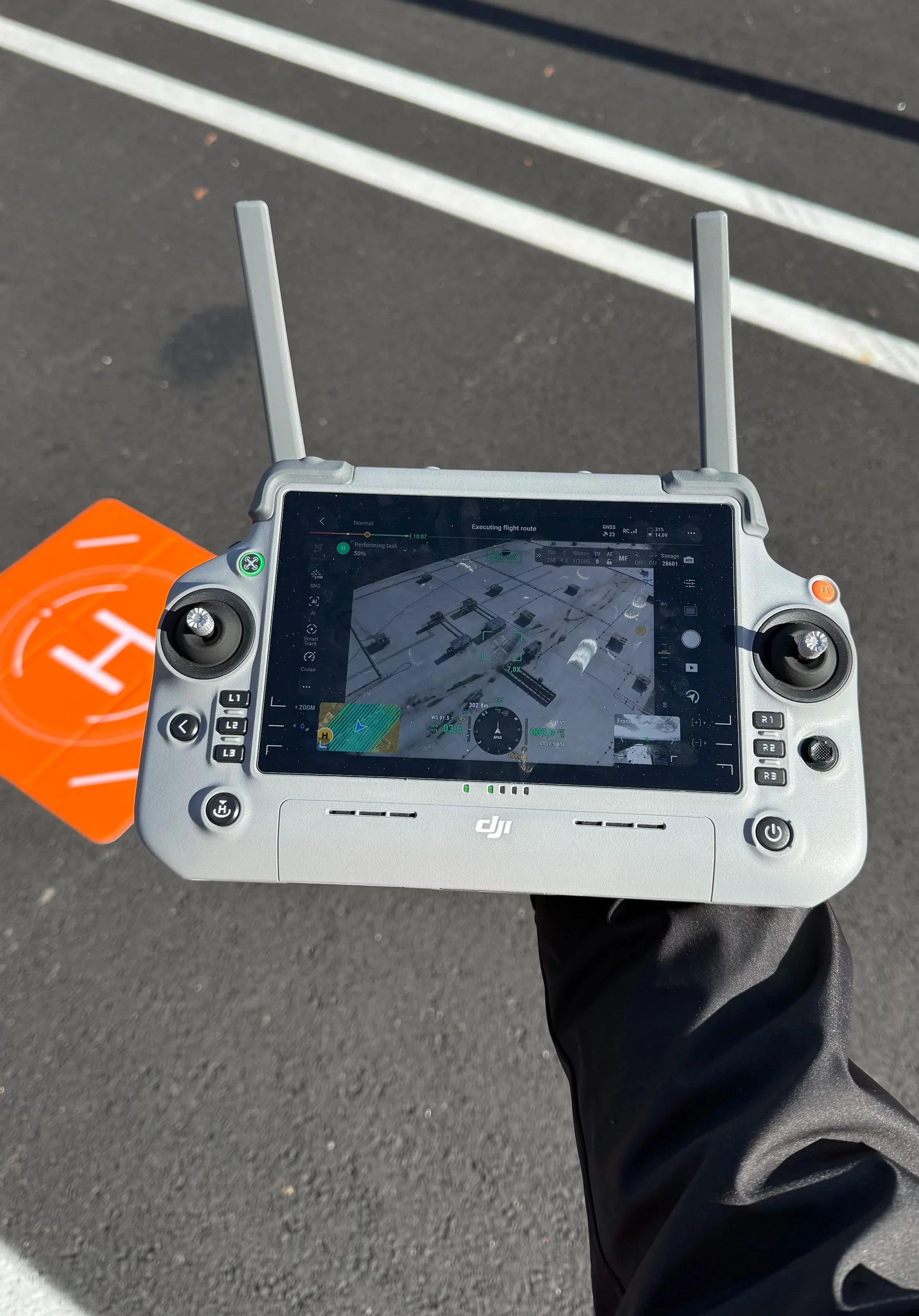
With My Drone Booking, you get high-precision drone solutions designed for construction, real estate, and infrastructure projects.
We help you:
✔ Improve project planning with high-resolution drone mapping and 3D models
✔ Document construction progress with consistent aerial site capture
✔ Reduce project uncertainty with current, actionable visual data
✔ Improve inspections with detailed aerial imagery and site documentation
✔ Strengthen communication between field teams, stakeholders, and clients
GET CURRENT SITE DATA. REDUCE RISK. BUILD SMARTER.
High-accuracy drone mapping & geospatial data capture
Fast turnaround across the Tri-State Area
FAA Part 107-certified remote pilot
Deliverables built for construction, engineering, development, and property workflows
WHY CHOOSE MY DRONE BOOKING
MEET GIACOMO, YOUR TRUSTED DRONE SERVICE PROVIDER
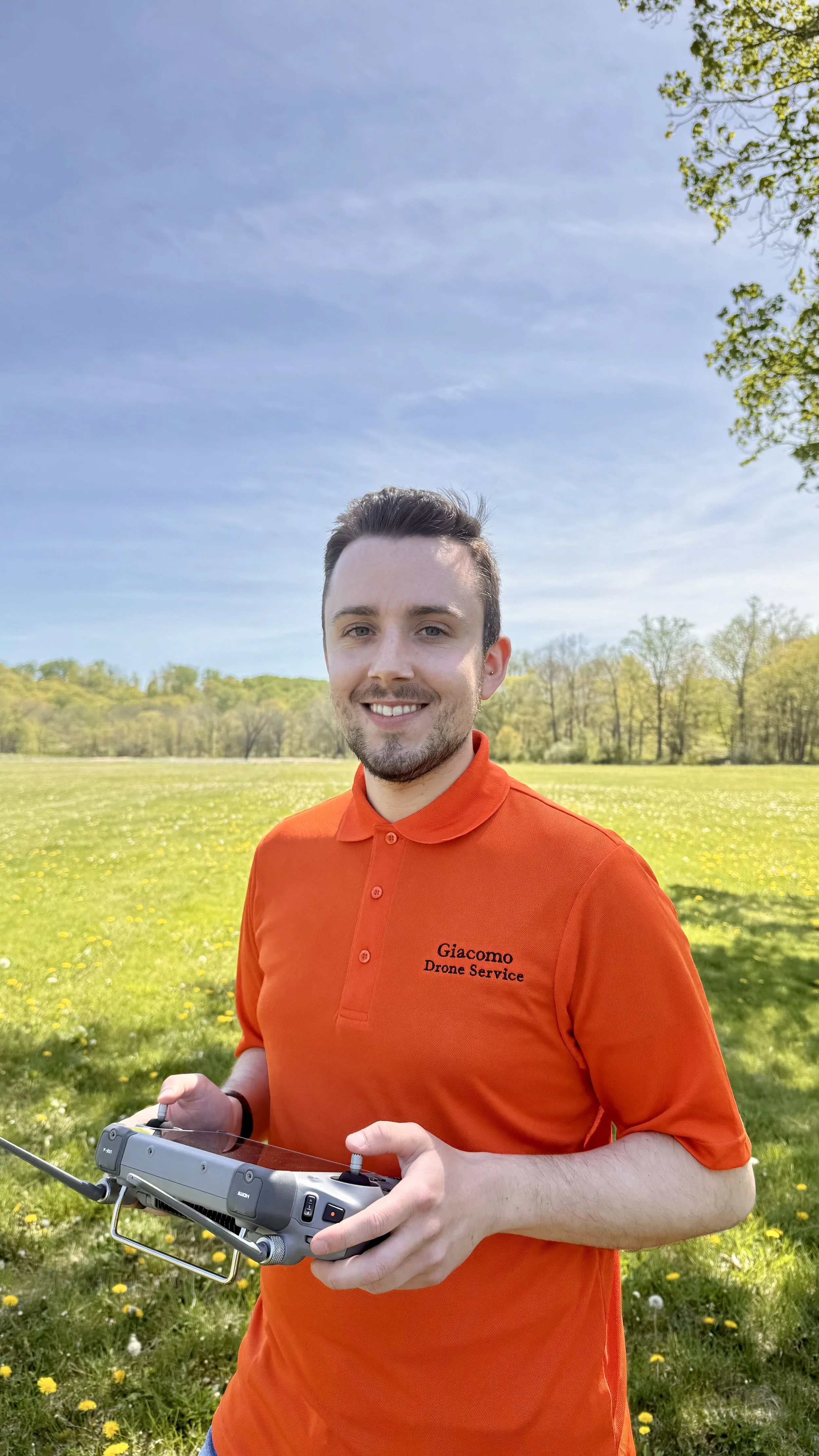
My Drone Booking combines professional drone operations with hands-on training in mapping, GNSS positioning, photogrammetry, construction workflows, and jobsite safety. Every mission is planned around FAA compliance, site conditions, project requirements, and clear coordination with the client and field team. This allows us to integrate efficiently into construction, infrastructure, telecom, and commercial property projects.


-
![An aerial view of a construction site with a building under construction, a red crane, and surrounding roads and railway tracks.]()
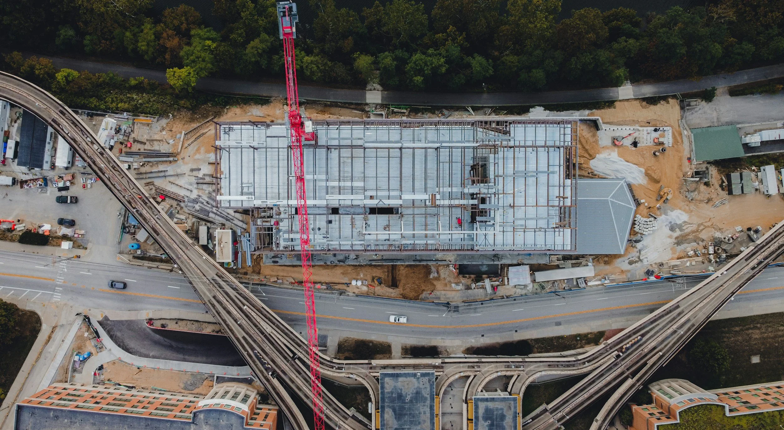
PROGRESS MONITORING
Maintain a consistent visual record of your project with scheduled aerial capture. Weekly, biweekly, or monthly photo and video updates make it easier to document site conditions, communicate progress to stakeholders, compare changes over time, and maintain an organized project history without requiring repeated client site visits.
-
![Color-coded map of a city with streets, buildings, and trees, transitioning from blue on the left to yellow on the right.]()
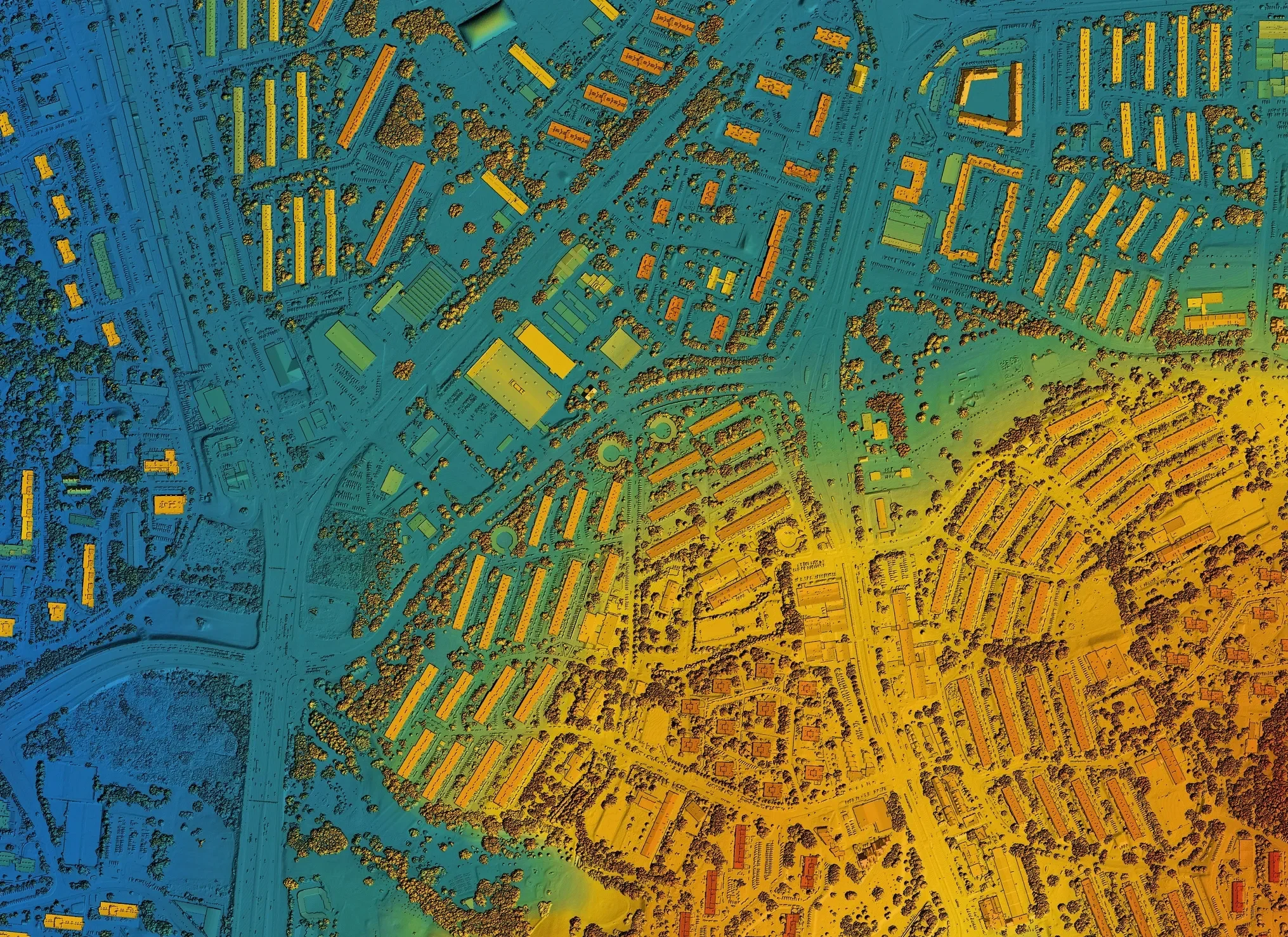
MAPPING & GEOSPATIAL DATA
Capture detailed site data using RTK-enabled drone mapping, GNSS positioning, and ground control when required by the project. Depending on the scope, deliverables can include high-resolution orthomosaics, 3D models, elevation data, and georeferenced outputs for planning, documentation, inspection, and measurement workflows. When a project requires licensed land-surveying services, our drone data can support the workflow in coordination with the client’s licensed survey professional.
-
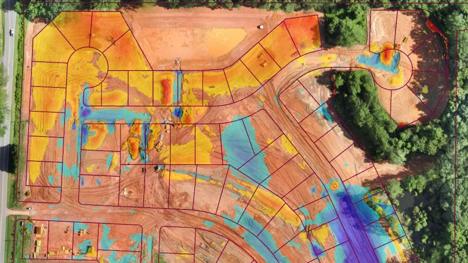
![Aerial view of a residential construction site showing lots marked with colored markings indicating grading and drainage plans, with some areas covered in yellow and orange soil, and blue areas representing water flow or drainage features, surrounded by trees and partially developed infrastructure.]()
PHOTOGRAMMETRY
Transform overlapping high-resolution aerial imagery into detailed, measurable digital representations of a project site. Our photogrammetry workflows can produce georeferenced orthomosaics, 3D models, and other spatial outputs for remote site review, progress comparison, planning, documentation, and visualization. RTK positioning and project-specific control methods can be incorporated when higher positional accuracy is required.
-
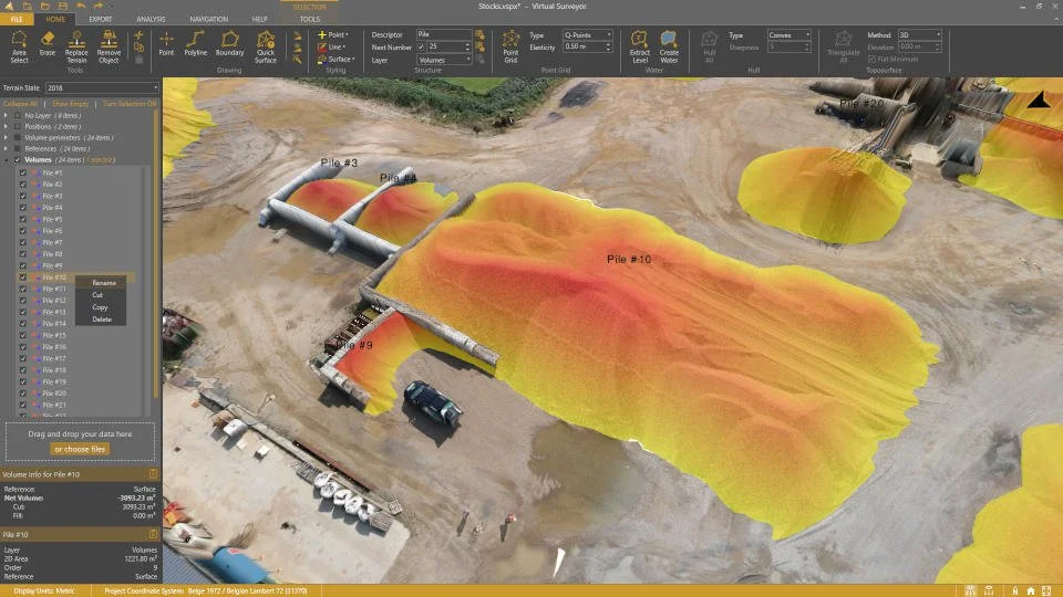
![3D model of a construction site showing piles of materials in yellow and red, with labels such as Pile #3 and Pile #10, surrounded by dirt roads, construction vehicles, and equipment within a virtual landscape software interface.]()
STOCKPILE REPORTS
Track material quantities with drone-based volumetric measurements generated from high-resolution surface models. Drone capture reduces the need for personnel to climb stockpiles and provides an efficient way to document material changes over time. Reports can include estimated volume in cubic yards and, when reliable material density information is available, estimated weight for inventory, planning, and reconciliation workflows.
-
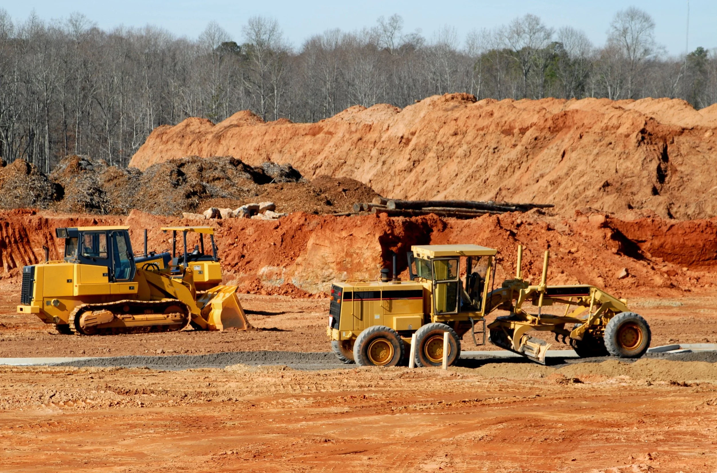
![Construction site with two yellow bulldozers working on reddish dirt and sand, with trees and clear sky in the background.]()
CUT AND FILL REPORTS
Compare current surface conditions against project reference surfaces to visualize and quantify areas of cut and fill. These outputs can support earthwork planning, progress tracking, material movement, resource allocation, and project reporting while giving teams a clearer view of grading activity across the site.
PORTFOLIO
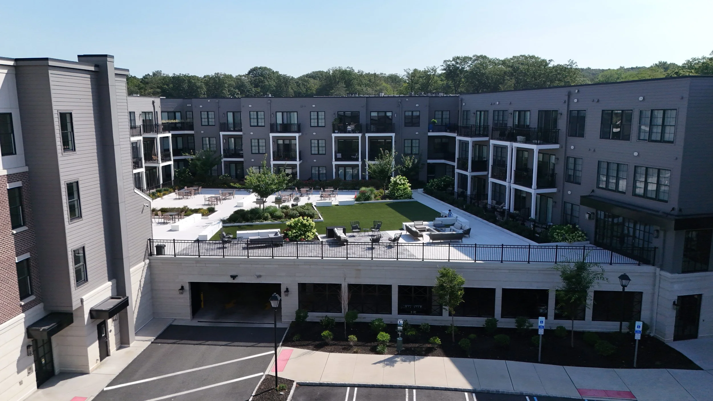
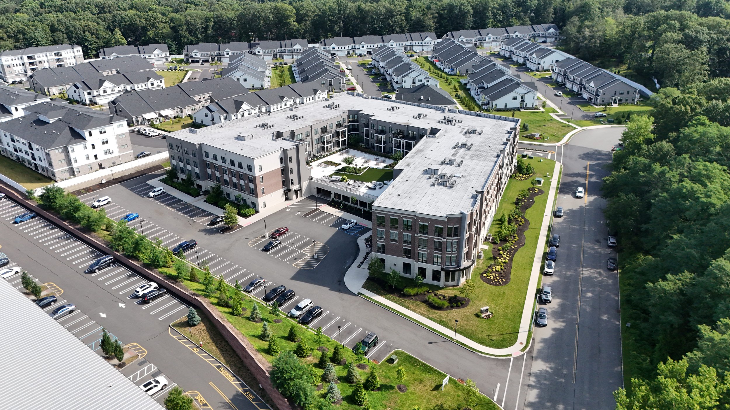
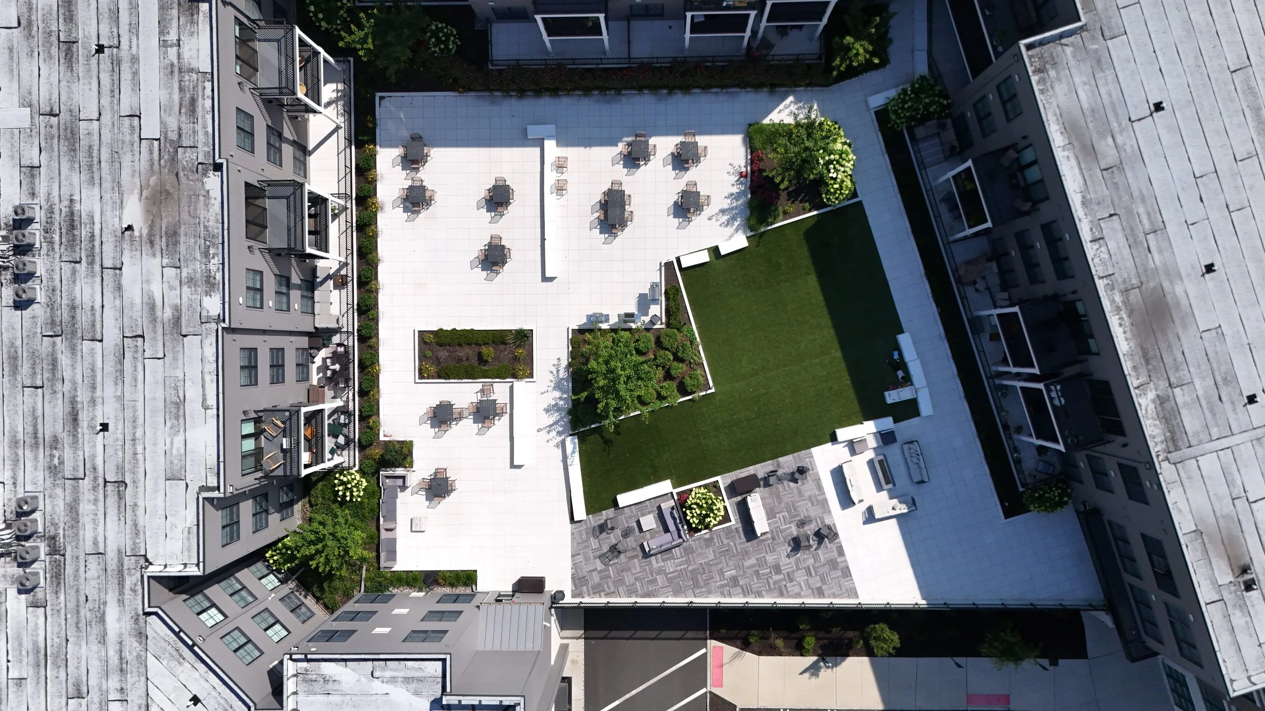
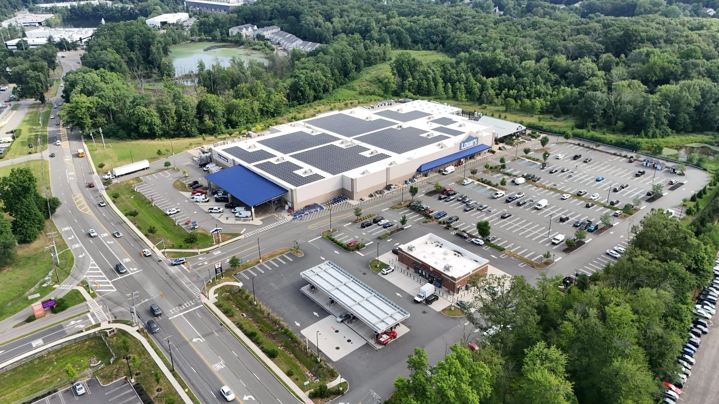
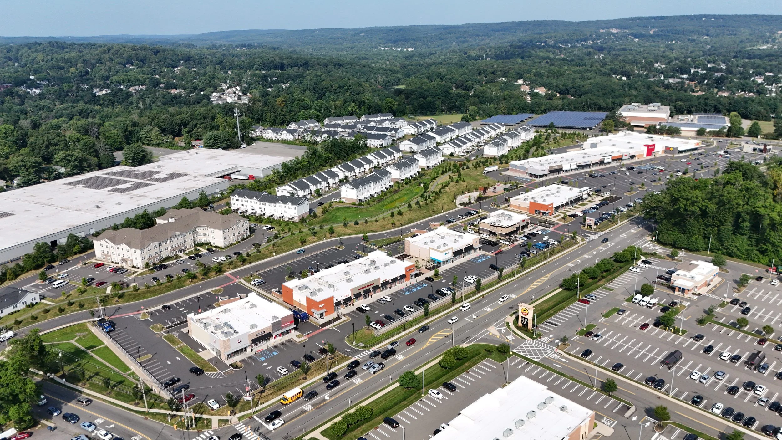
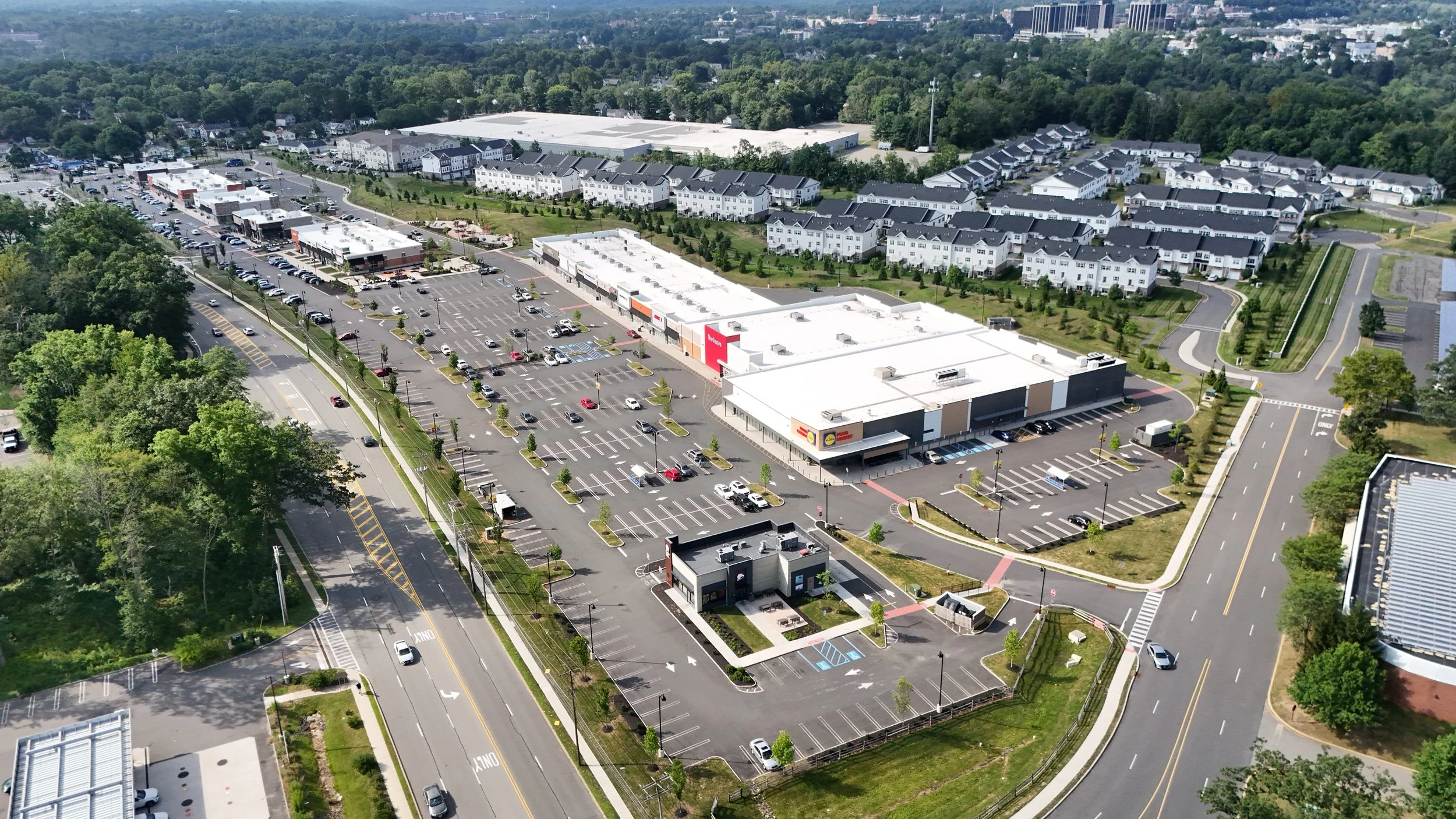
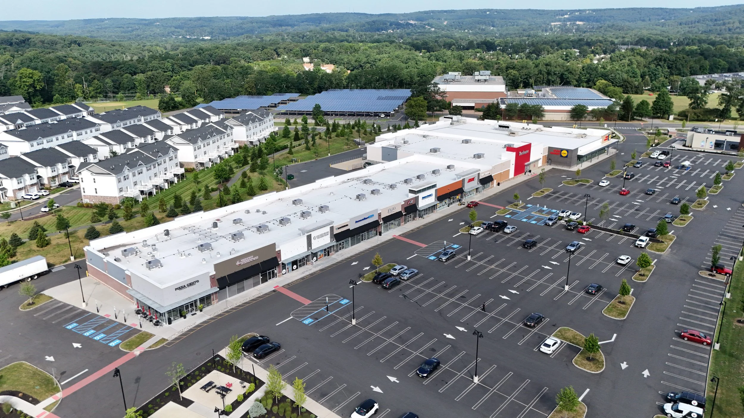
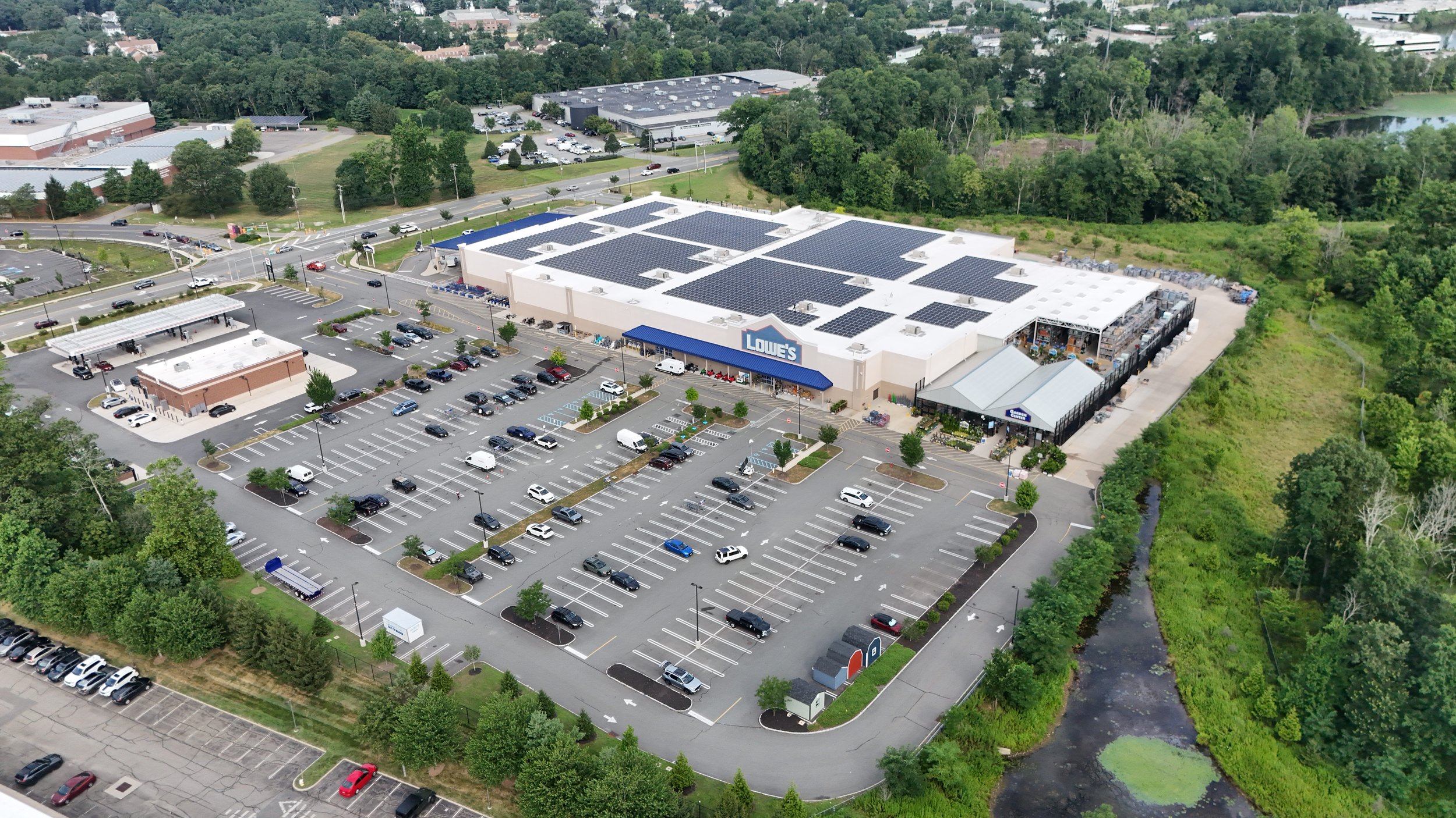
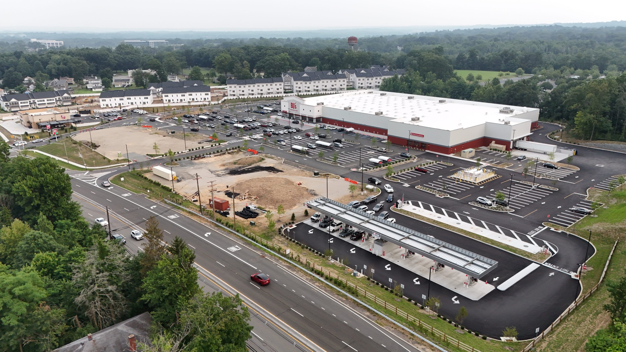
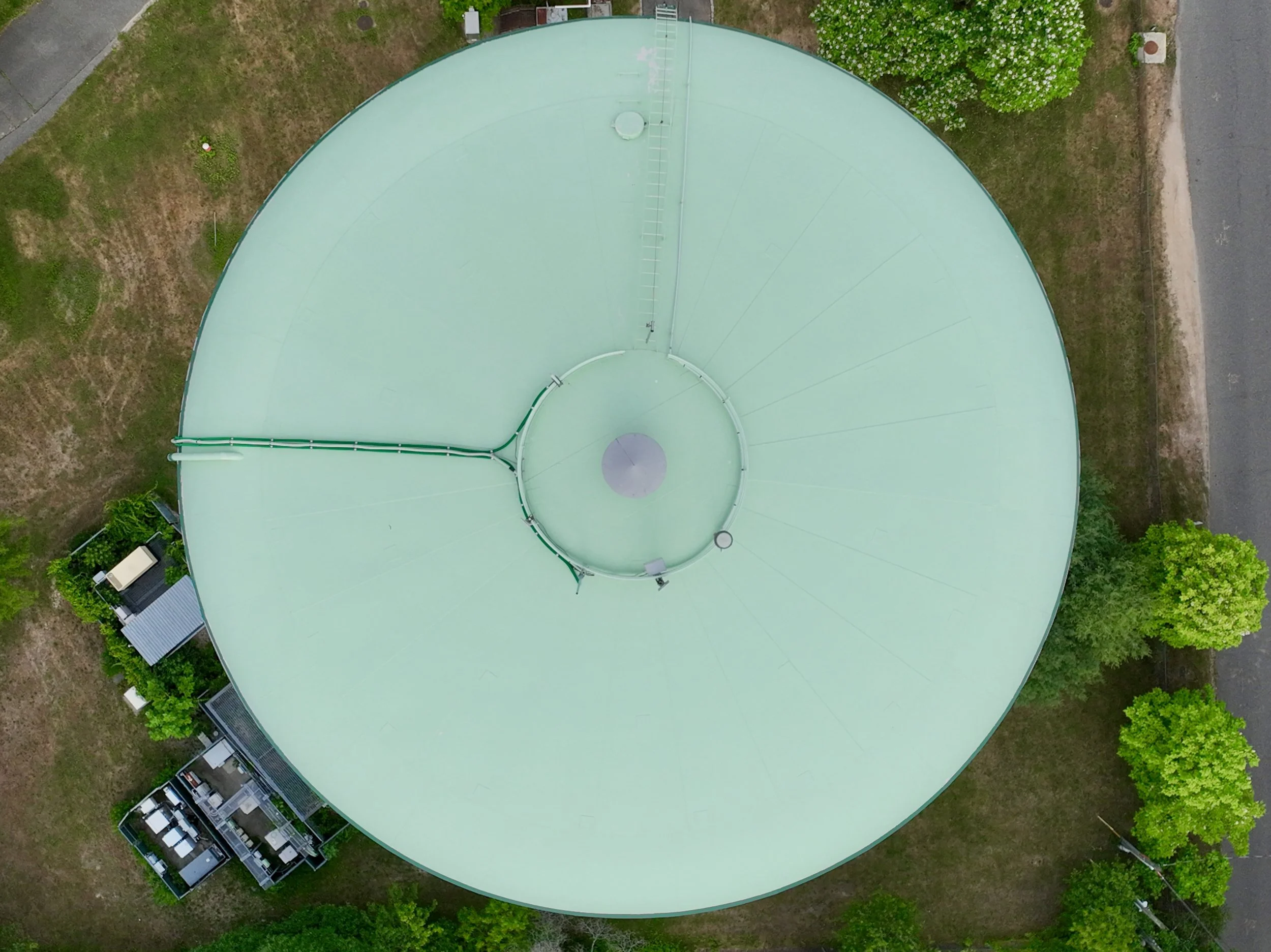
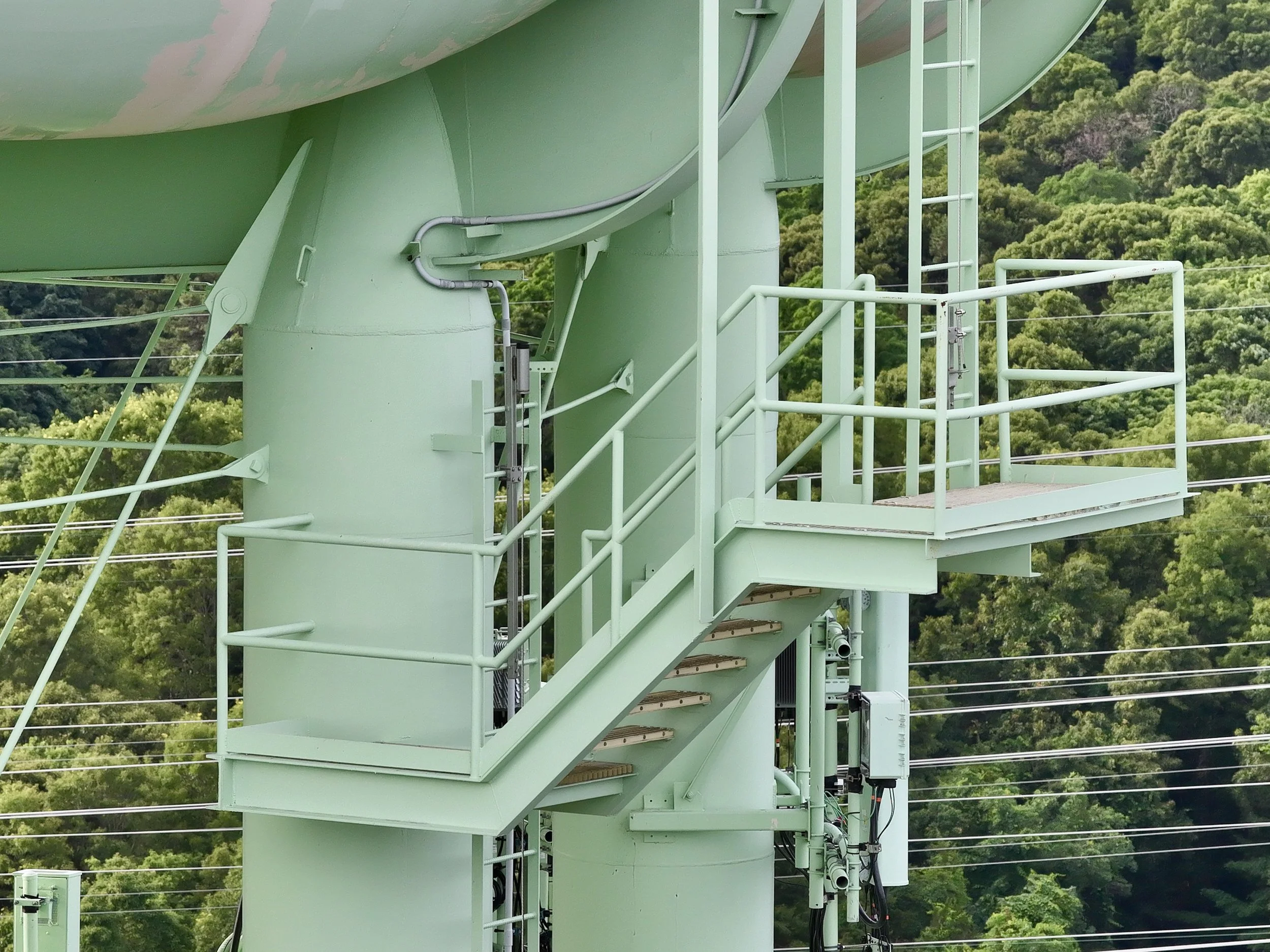
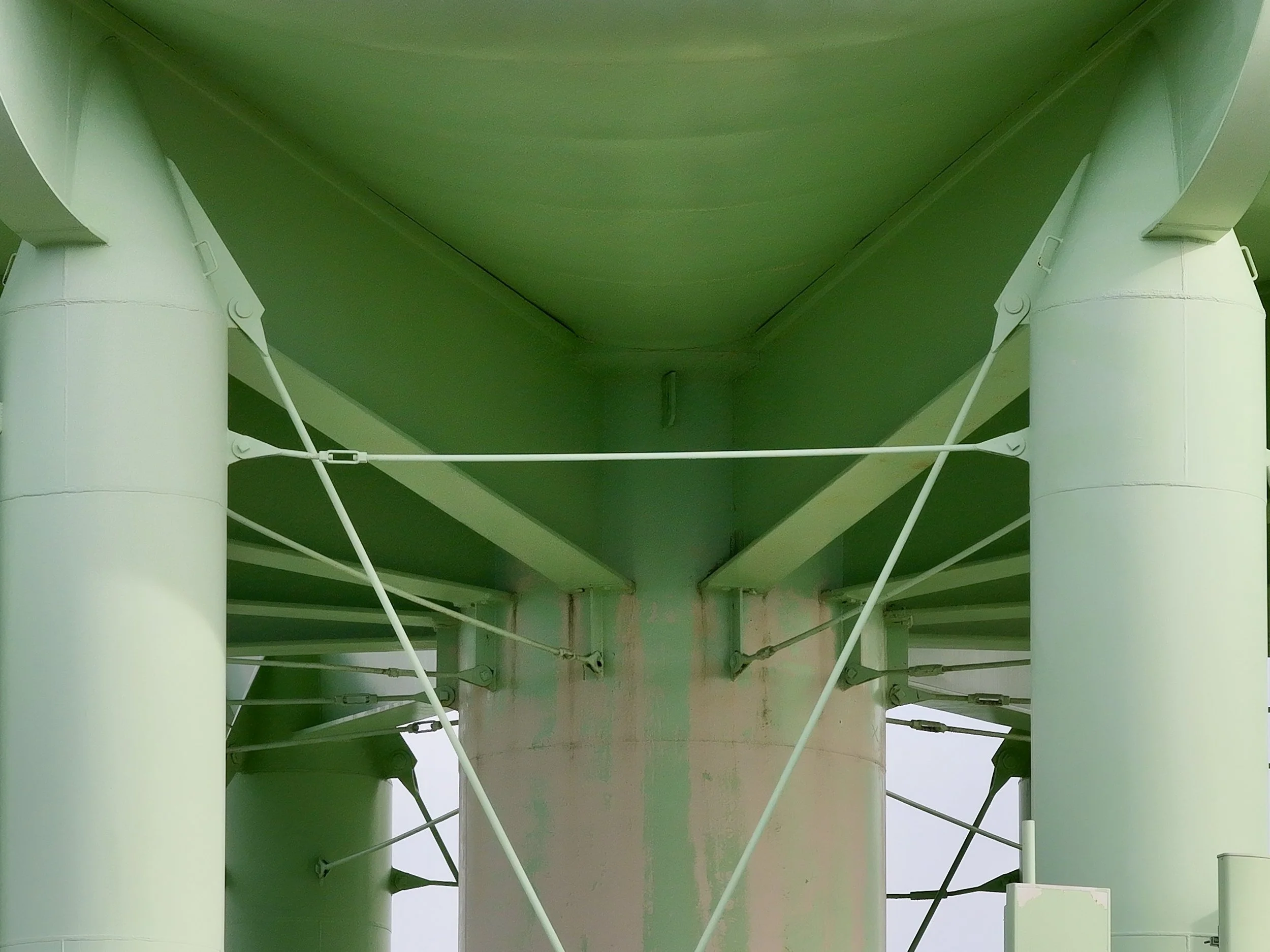
Explore Our Interactive 3D Maps
Click a project to view the full interactive model.
Powered by NIRA.APP