ADVANCED DRONE SOLUTIONS FOR SMARTER PROJECT DECISIONS
High-accuracy Mapping, Inspections, and 3D Models for Construction, Real Estate, and Development projects across the Tri-State Area.


Fast 24-48h Turnaround
High Quality Mapping & Inspections
RTK Accuracy up to <1cm
FAA Certified & Fully insured
YOUR TRUSTED DRONE SERVICE PROVIDER
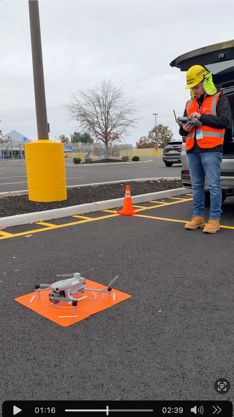
At My Drone Booking, we provide fully insured and FAA compliant drone services in the Tri-State Area. Our operations are backed by comprehensive aviation and business liability insurance, ensuring safe, legal, and professional flight missions for every project.
We operate the latest enterprise-grade drone technology, including advanced aerial photography and drone mapping systems, and continuously upgrade our fleet to deliver maximum resolution, RTK precision, and reliable data capture. From construction site mapping to real estate, and roof infrastructure inspections, we guarantee high-quality, accurate, and dependable results.
Explore Our Drone Services
Project monitoring is often slow and inefficient.
With My Drone Booking, you get real-time updates, faster inspections, and full control powered by professional, enterprise grade drones.
|
In partnership with S.W.A.R.M. Cleaning, we offer professional drone-powered exterior cleaning for buildings, glass, and hard-to-reach areas.
How It Works:
1
Tell Us About Your Project
Share your location, property type, and what you need: mapping, inspection, real estate, or media.
2
Receive a Custom Quote
We’ll send you a clear proposal with scope, pricing, and estimated turnaround time.
3
Schedule the Flight
We confirm the date, weather conditions, airspace requirements, and site details.
4
We Capture the Data
We complete the drone mission safely and efficiently using professional equipment.
5
Receive Your Deliverables
You get your final photos, video, maps, models, or inspection data in the format you need.
Why Clients Choose My Drone Booking


Transparent Pricing
Clear quotes with no confusing surprises.
Reliable & Professional
FAA-certified operations with a focus on safety, communication, and quality.

Fast Turnaround
We deliver high-quality results on time so your project keeps moving.
A Drone Service Company You Can Trust -
A Drone Service Company You Can Trust -
Licenses & Certifications


FEDERAL AVIATION ADMINISTRATION - Certificate of Authorization (COA)

FEDERAL AVIATION ADMINISTRATION - 14 CFR PART 107 sUAS
OSHA 10-hour Construction & General Industry Safety and Health

FEDERAL EMERGENCY MANAGEMENT AGENCY - ICS-100, ICS-200, ISC-700

LAND SURVEY
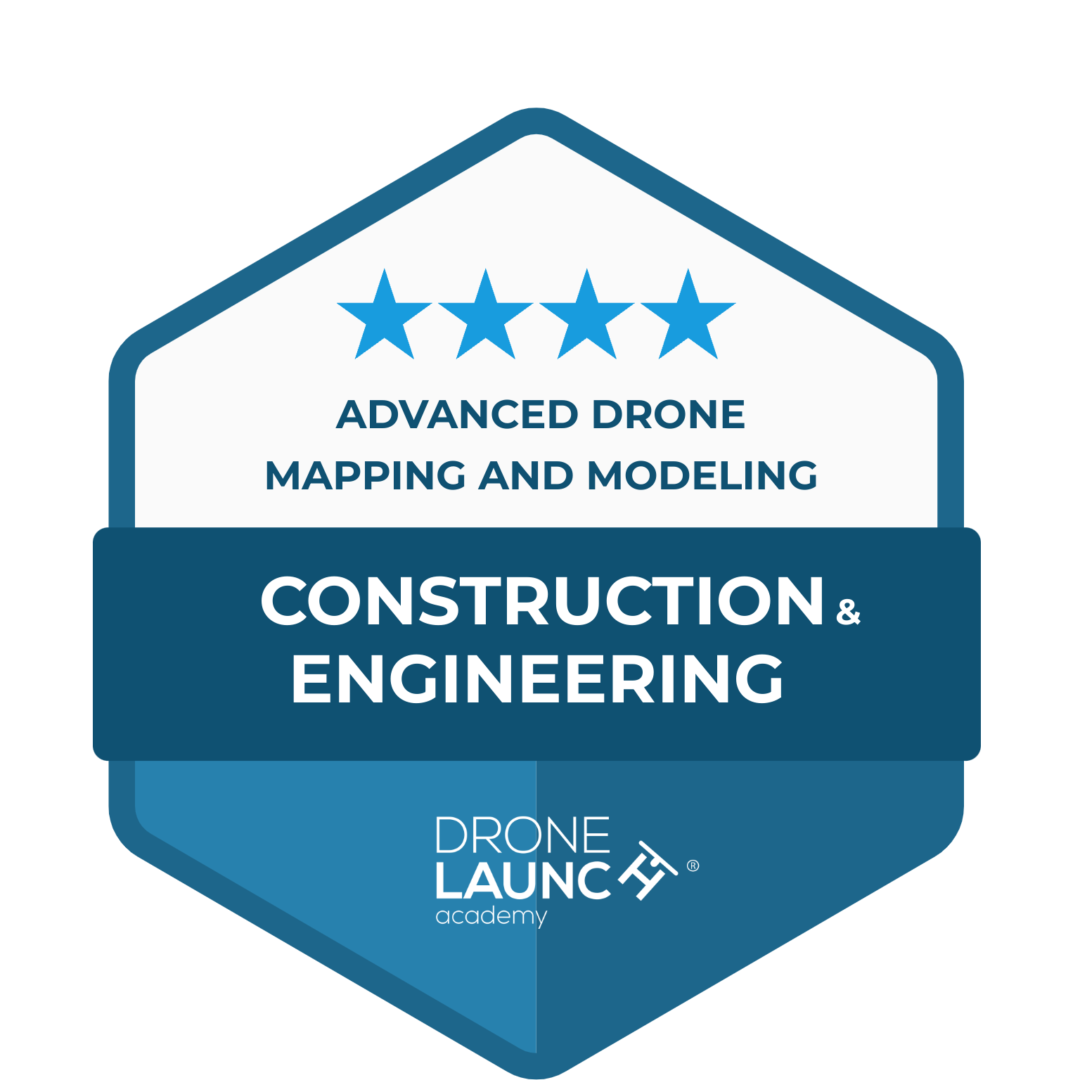
CONSTRUCTION & ENGINEERING
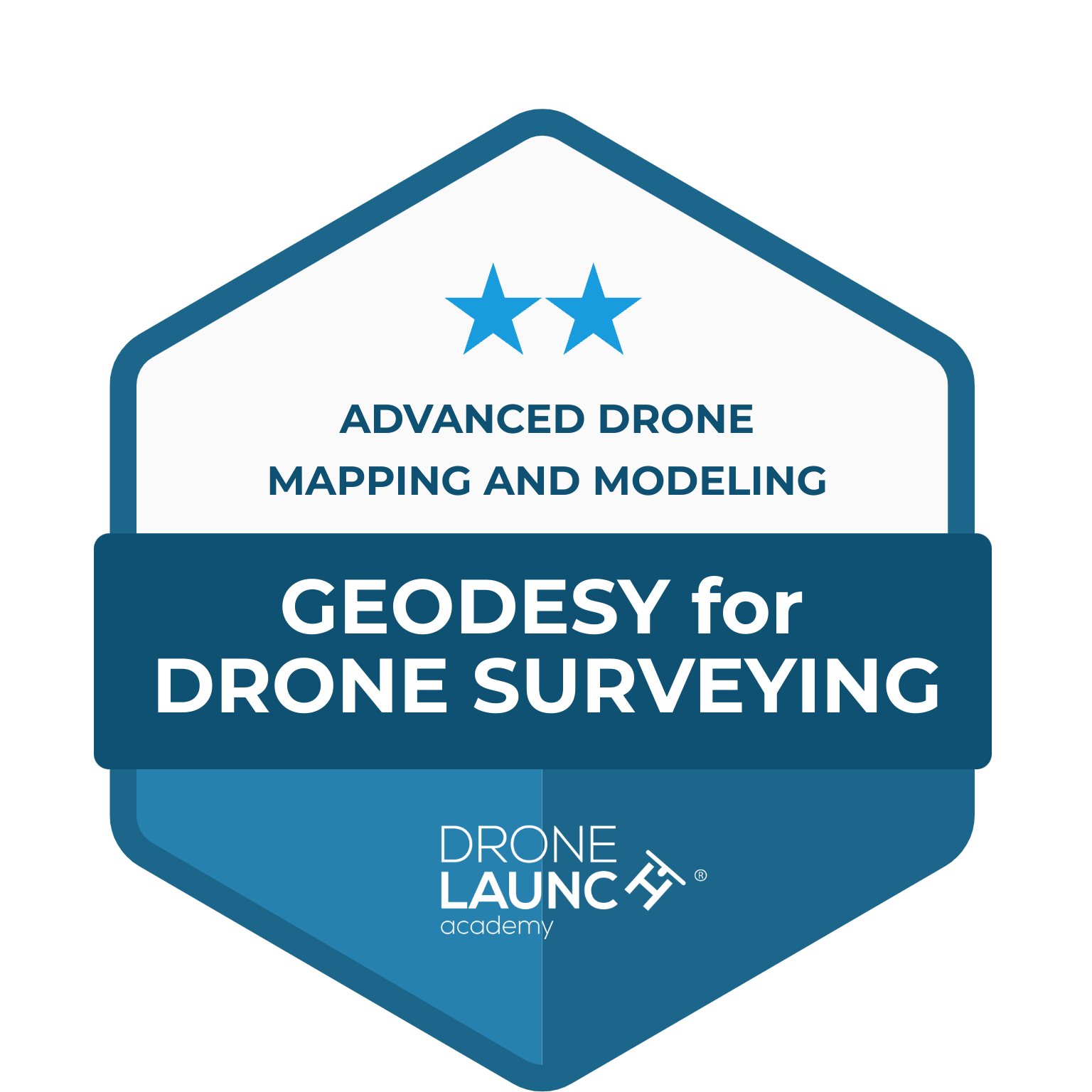
GEOSEDY FOR DRONE SURVEYING
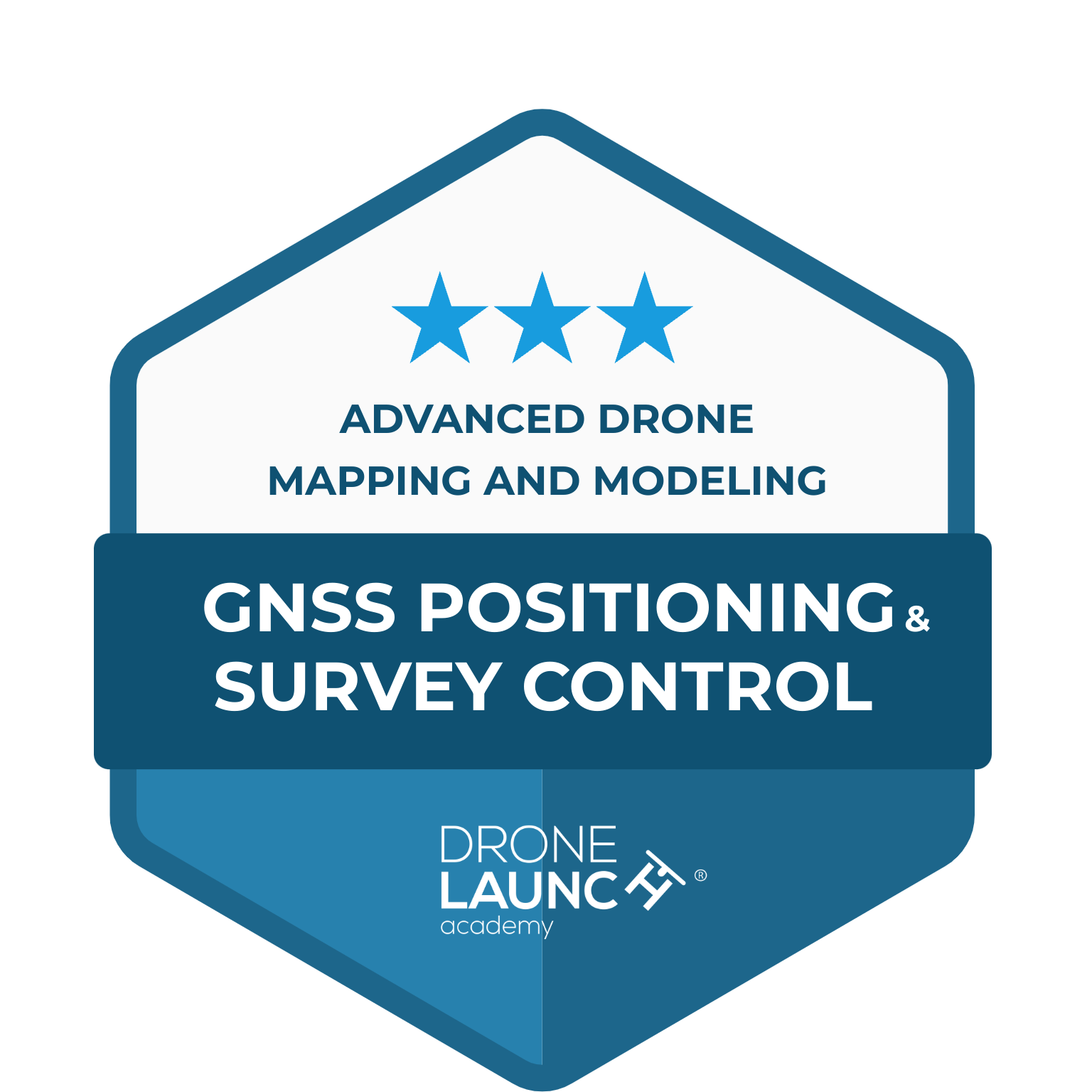
GNSS POSITIONING & SURVEY CONTROL
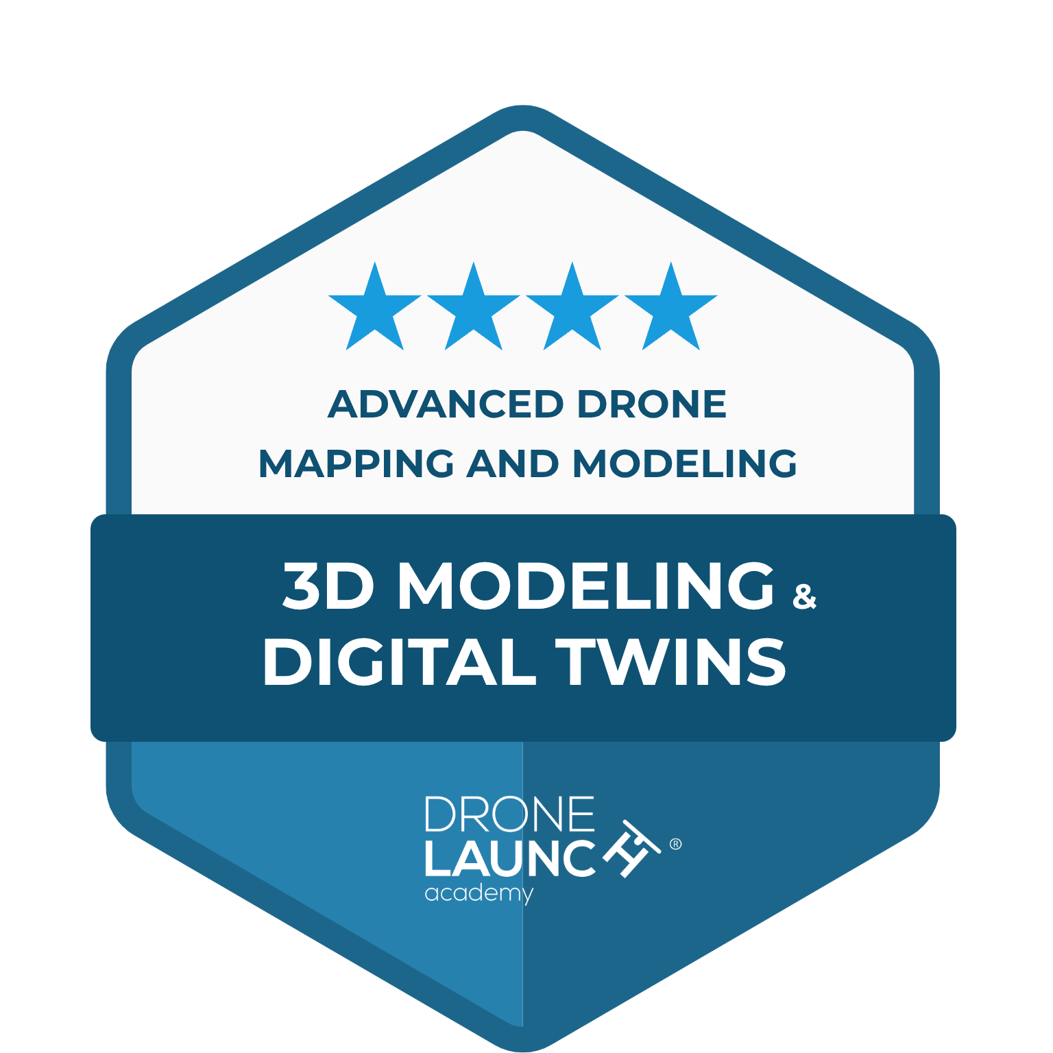
3D MODELING & DIGITAL TWINS
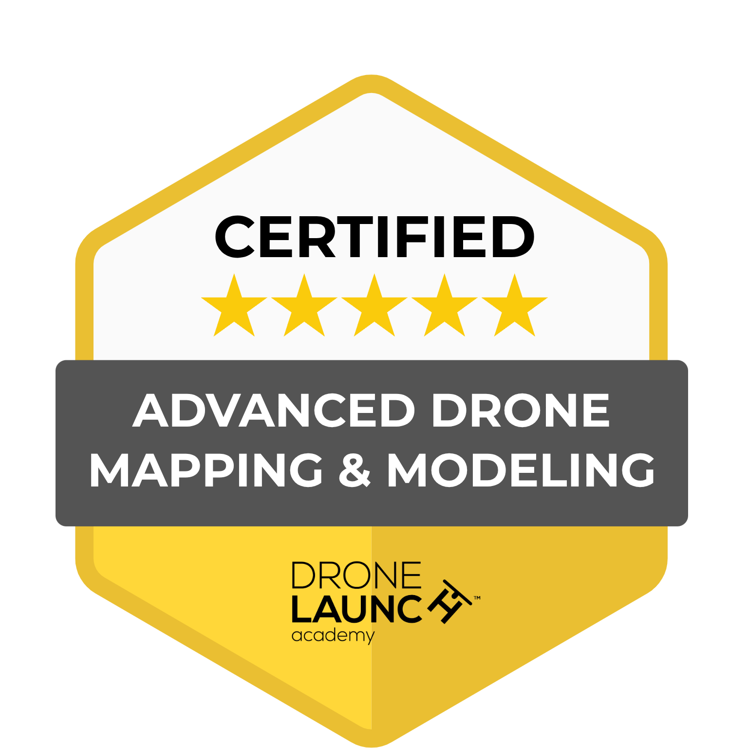
CERTIFIED ADVANCED DRONE MAPPING & MODELING
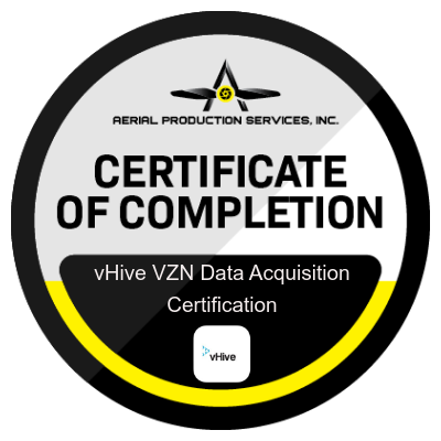
Data Acquisition Tech on the full scope capture for Verizon using the vHive systems.
MEET OUR FLEET:
The DJI Mini 4 Pro combines power and portability in a compact drone. Its advanced 48 MP sensor delivers stunning 4K HDR videos at up to 60fps and captures high-resolution photos in both vertical and horizontal orientations. With a flight time of up to 34 minutes on a single charge we have plenty of time to get that perfect shot.
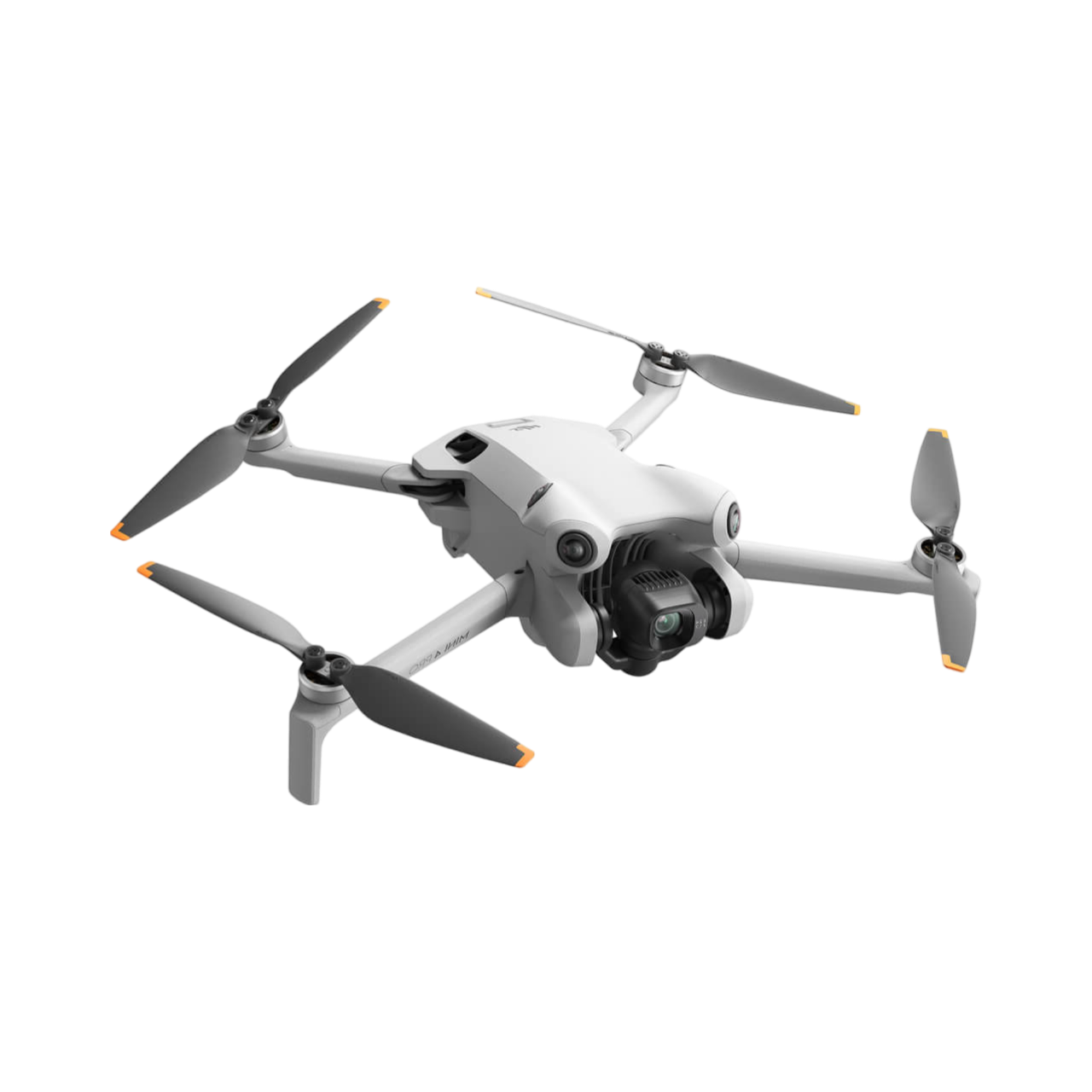
DJI MINI 4 PRO
The DJI Matrice 4E is a professional-grade mapping and surveying drone built for accuracy and efficiency. Ideal for topographic surveys, construction monitoring, and site inspections, it offers up to 55 minutes of flight time and covers areas up to 15 km. With smart mapping tools, precise GNSS, and real-time data integration, it delivers reliable results even in complex environments.
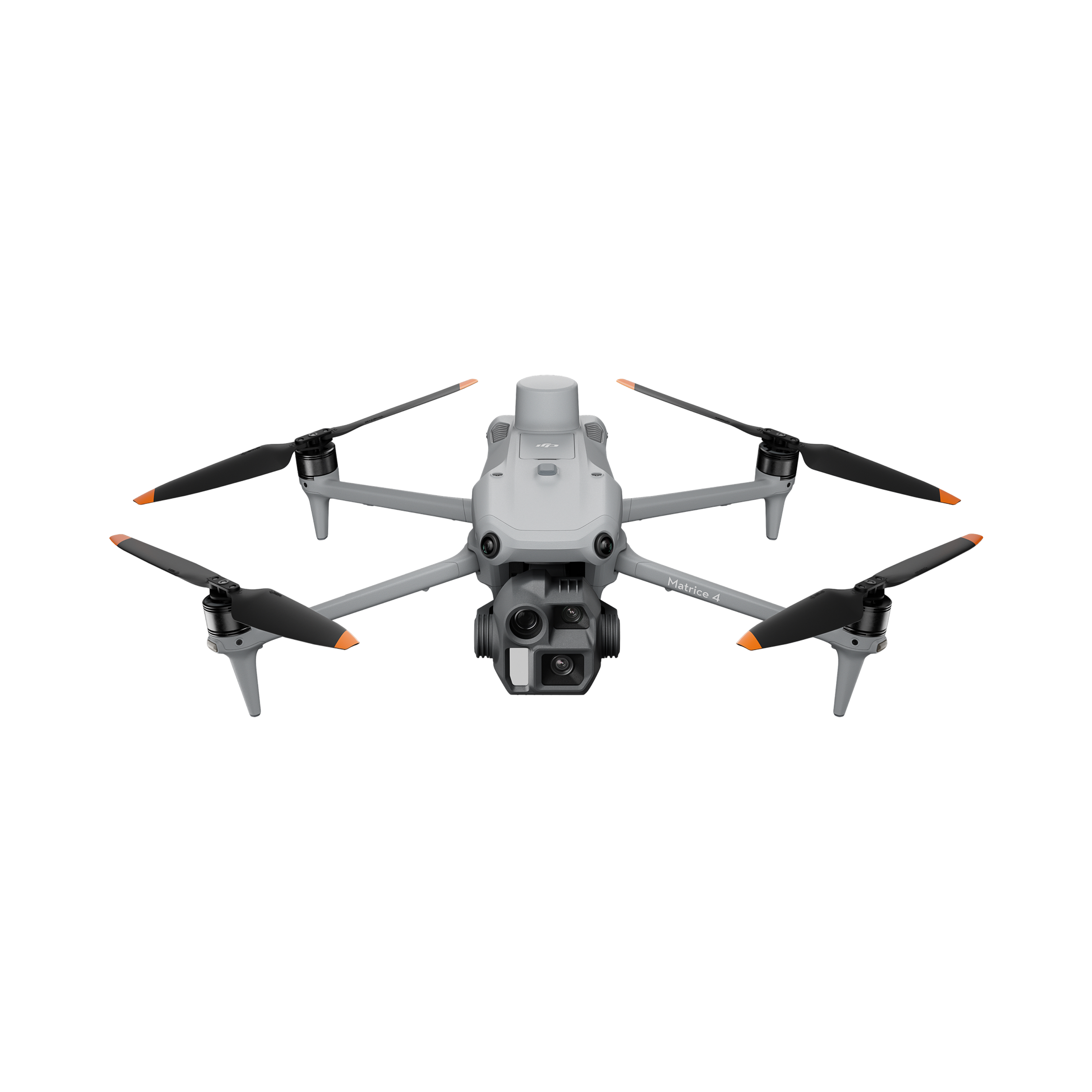
DJI MATRICE 4E
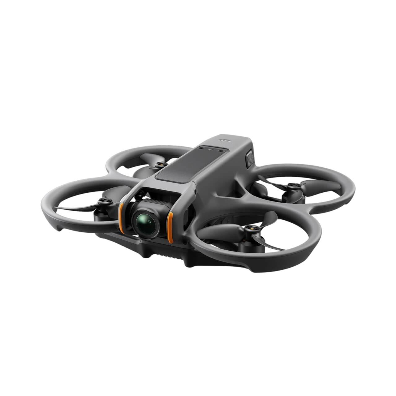
DJI AVATA 2
The DJI Avata 2 is designed to provide an immersive and thrilling flying experience. Paired with advanced goggles, it captures breathtaking 4K HDR videos at up to 60fps and high-resolution photos. Its updated design includes integrated propeller guards, making it more agile and safe for indoor flights and tight spaces. Maximum flight time of 23 minutes.
We Have All the Answers to Your Questions!
Still have questions? Take a look at our FAQ or reach out anytime. We’re here to help you understand our services and support your project every step of the way.
-
Yes. My Drone Booking operates in full compliance with FAA regulations and carries comprehensive liability insurance. Every project is conducted safely, legally, and professionally.
-
Hiring a professional ensures accurate data, safe operations, and high-quality results. With My Drone Booking, you avoid risks, save time, and receive reliable data you can actually use to make decisions.
-
We offer drone mapping, construction progress tracking, aerial photography and video, inspections, and data capture for construction, real estate, and infrastructure projects.
-
Yes. We provide high-precision drone mapping, orthomosaics, and 3D models using advanced RTK technology for accurate and reliable results.
-
Most projects are scheduled within 5–7 days. Timing may vary based on location, weather conditions, and required airspace approvals, but we always aim to move as quickly as possible.
-
Turnaround time depends on the project, but most deliverables are provided within 24–72 hours after the flight.
-
No. In most cases, you don’t need to be present. We handle everything allowing you to track progress, review updates, and stay in control of your project from anywhere.
-
Drone technology eliminates the need for frequent site visits, speeds up inspections, and provides instant access to accurate data. This helps reduce delays, prevent costly mistakes, and improve overall project efficiency.
-
We use RTK-enabled enterprise drones to deliver mapping accuracy up to 1 cm, giving you precise, reliable data you can trust for critical project decisions.